Old Milestone by the B7004, south of Whithorn
Introduction
The photograph on this page of Old Milestone by the B7004, south of Whithorn by Milestone Society as part of the Geograph project.
The Geograph project started in 2005 with the aim of publishing, organising and preserving representative images for every square kilometre of Great Britain, Ireland and the Isle of Man.

There are currently over 7.5m images from over 14,400 individuals and you can help contribute to the project by visiting https://www.geograph.org.uk
Old Milestone by the B7004, south of Whithorn
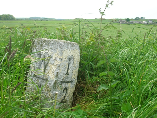
Image: © Milestone Society Taken: Unknown
By the B7004, in parish of Whithorn (Wigtownshire District), halfway between two cottages, on verge. Inscription reads:- : W (Whithorn) / 1 : : I (Isle of Whithorn) / 2 : Surveyed Milestone Society National ID: DG_WHIW01
Images are licensed for reuse under creativecommons.org/licenses/by-sa/2.0
Image Location


Leaflet Map data © OpenStreetMap
Latitude
54.714353
Longitude
-4.407176