Old Boundary Marker by the A381, West Alvington Hill
Introduction
The photograph on this page of Old Boundary Marker by the A381, West Alvington Hill by Alan Rosevear as part of the Geograph project.
The Geograph project started in 2005 with the aim of publishing, organising and preserving representative images for every square kilometre of Great Britain, Ireland and the Isle of Man.

There are currently over 7.5m images from over 14,400 individuals and you can help contribute to the project by visiting https://www.geograph.org.uk
Old Boundary Marker by the A381, West Alvington Hill
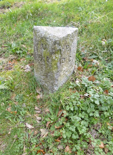
Image: © Alan Rosevear Taken: 25 Feb 2013
Parish Boundary Marker by the A381, in parish of West Alvington (South Hams District), West Alvington Hill, West of entrance to Kingsbridge Community College, on grass bank beside village sign. Surveyed Milestone Society National ID: DV_KBSC01pb
Images are licensed for reuse under creativecommons.org/licenses/by-sa/2.0
Image Location
Latitude
50.281642
Longitude
-3.786268