Kings Weston House from the east
Introduction
The photograph on this page of Kings Weston House from the east by Eirian Evans as part of the Geograph project.
The Geograph project started in 2005 with the aim of publishing, organising and preserving representative images for every square kilometre of Great Britain, Ireland and the Isle of Man.

There are currently over 7.5m images from over 14,400 individuals and you can help contribute to the project by visiting https://www.geograph.org.uk
Kings Weston House from the east
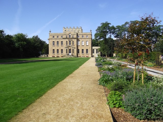
Image: © Eirian Evans Taken: 19 Sep 2017
Built c. 1710 for Sir Robert Southwell, on the foundations of the existing manor house, by George Townesend.
Images are licensed for reuse under creativecommons.org/licenses/by-sa/2.0
Image Location
Latitude
51.494305
Longitude
-2.661403