Farmland at West Balnald
Introduction
The photograph on this page of Farmland at West Balnald by M J Richardson as part of the Geograph project.
The Geograph project started in 2005 with the aim of publishing, organising and preserving representative images for every square kilometre of Great Britain, Ireland and the Isle of Man.

There are currently over 7.5m images from over 14,400 individuals and you can help contribute to the project by visiting https://www.geograph.org.uk
Farmland at West Balnald
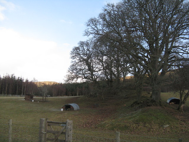
Image: © M J Richardson Taken: 1 Feb 2019
Pasture with free ranging hens and Sycamores.
Images are licensed for reuse under creativecommons.org/licenses/by-sa/2.0
Image Location


Leaflet Map data © OpenStreetMap
Latitude
56.634902
Longitude
-3.624529