A525, Nant Y Garth Pass
Introduction
The photograph on this page of A525, Nant Y Garth Pass by David Dixon as part of the Geograph project.
The Geograph project started in 2005 with the aim of publishing, organising and preserving representative images for every square kilometre of Great Britain, Ireland and the Isle of Man.

There are currently over 7.5m images from over 14,400 individuals and you can help contribute to the project by visiting https://www.geograph.org.uk
A525, Nant Y Garth Pass
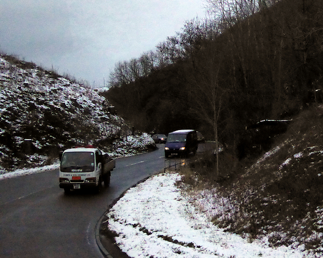
Image: © David Dixon Taken: 23 Jan 2019
Nant-y-Garth Pass is a mountain pass on the A525 Ruthin to Wrexham road. The pass is a steep incline heading south from Ruthin, following the source of the Nant-y-Garth watercourse in a wooded and fairly steep sided valley for much of its route. https://www.sabre-roads.org.uk/wiki/index.php?title=Nant-y-Garth_Pass SABRE
Images are licensed for reuse under creativecommons.org/licenses/by-sa/2.0
Image Location


Leaflet Map data © OpenStreetMap
Latitude
53.050823
Longitude
-3.252793