South along Church Street, Ton Pentre
Introduction
The photograph on this page of South along Church Street, Ton Pentre by Jaggery as part of the Geograph project.
The Geograph project started in 2005 with the aim of publishing, organising and preserving representative images for every square kilometre of Great Britain, Ireland and the Isle of Man.

There are currently over 7.5m images from over 14,400 individuals and you can help contribute to the project by visiting https://www.geograph.org.uk
South along Church Street, Ton Pentre
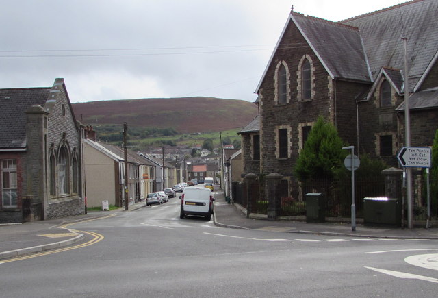
Image: © Jaggery Taken: 8 Oct 2018
Viewed from the corner of Church Road. Hebron Sunday School https://www.geograph.org.uk/photo/2679163 is on the left. The English Congregational Church https://www.geograph.org.uk/photo/2678976 and two telecoms cabinets are on the right.
Images are licensed for reuse under creativecommons.org/licenses/by-sa/2.0
Image Location
Latitude
51.646884
Longitude
-3.487458