Pestead Lane meets Hambledon Lane
Introduction
The photograph on this page of Pestead Lane meets Hambledon Lane by Robin Webster as part of the Geograph project.
The Geograph project started in 2005 with the aim of publishing, organising and preserving representative images for every square kilometre of Great Britain, Ireland and the Isle of Man.

There are currently over 7.5m images from over 14,400 individuals and you can help contribute to the project by visiting https://www.geograph.org.uk
Pestead Lane meets Hambledon Lane
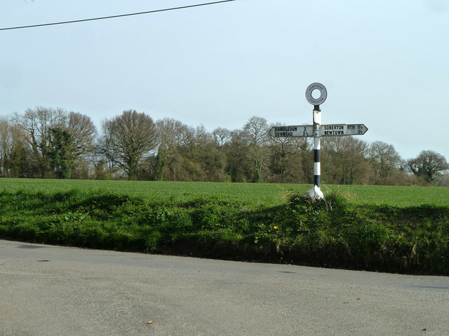
Image: © Robin Webster Taken: 30 Mar 2014
The signpost top advises this is in Soberton, presumably the parish, as the village is some way away.
Images are licensed for reuse under creativecommons.org/licenses/by-sa/2.0
Image Location
Latitude
50.933389
Longitude
-1.12093