Paths and the trail
Introduction
The photograph on this page of Paths and the trail by Neil Owen as part of the Geograph project.
The Geograph project started in 2005 with the aim of publishing, organising and preserving representative images for every square kilometre of Great Britain, Ireland and the Isle of Man.

There are currently over 7.5m images from over 14,400 individuals and you can help contribute to the project by visiting https://www.geograph.org.uk
Paths and the trail
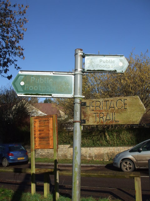
Image: © Neil Owen Taken: 30 Jan 2019
This area of Camerton beside the Cam Brook bridge offers lots of opportunities to explore the landscape and the past. The Limestone Link passes through the old colliery village, where canal and railway lines are no longer present but provide some good walks. The notice board in the background is named the Coke Ovens Copse board - another clue to the village's industrial history.
Images are licensed for reuse under creativecommons.org/licenses/by-sa/2.0
Image Location
Latitude
51.318765
Longitude
-2.459273