Woodland, East Hartford
Introduction
The photograph on this page of Woodland, East Hartford by Richard Webb as part of the Geograph project.
The Geograph project started in 2005 with the aim of publishing, organising and preserving representative images for every square kilometre of Great Britain, Ireland and the Isle of Man.

There are currently over 7.5m images from over 14,400 individuals and you can help contribute to the project by visiting https://www.geograph.org.uk
Woodland, East Hartford
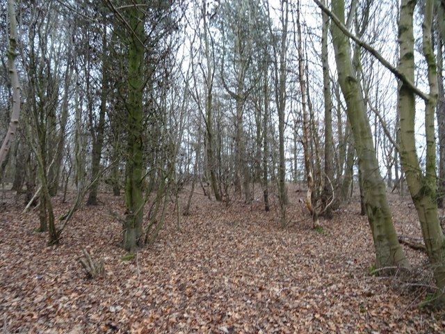
Image: © Richard Webb Taken: 26 Jan 2019
Growing on the site of Hartford Colliery which closed in 1961.
Images are licensed for reuse under creativecommons.org/licenses/by-sa/2.0
Image Location
Latitude
55.108186
Longitude
-1.57817