Station Terrace Methodist Church, Cramlington
Introduction
The photograph on this page of Station Terrace Methodist Church, Cramlington by Richard Webb as part of the Geograph project.
The Geograph project started in 2005 with the aim of publishing, organising and preserving representative images for every square kilometre of Great Britain, Ireland and the Isle of Man.

There are currently over 7.5m images from over 14,400 individuals and you can help contribute to the project by visiting https://www.geograph.org.uk
Station Terrace Methodist Church, Cramlington
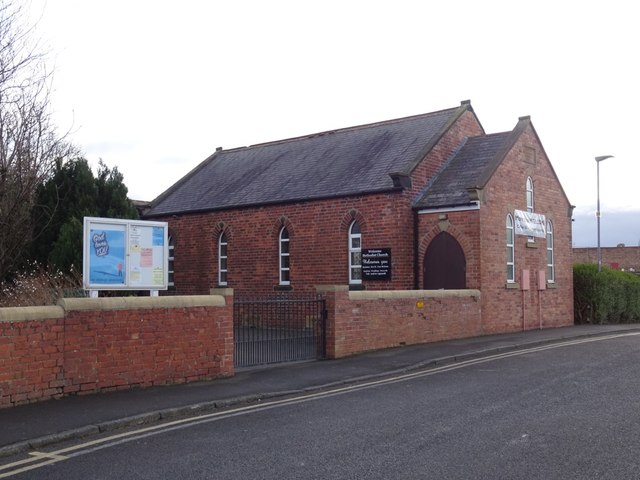
Image: © Richard Webb Taken: 26 Jan 2019
Cramlington village was strung out between the station and the medieval centre around St Nicholas Church. The chapel was about halfway along the narrow built up area. Today it has a shopping centre for a neighbour. I was too late for the cafe - shame, church cafes are usually pretty good. Good to see the chapel open; there are many disused churches in the Northumberland coalfields, their congregations or even whole communities lost when the mines closed.
Images are licensed for reuse under creativecommons.org/licenses/by-sa/2.0
Image Location
Latitude
55.087116
Longitude
-1.592022