Old Direction Sign - Signpost by the B2080, Snargate Parish
Introduction
The photograph on this page of Old Direction Sign - Signpost by the B2080, Snargate Parish by Milestone Society as part of the Geograph project.
The Geograph project started in 2005 with the aim of publishing, organising and preserving representative images for every square kilometre of Great Britain, Ireland and the Isle of Man.

There are currently over 7.5m images from over 14,400 individuals and you can help contribute to the project by visiting https://www.geograph.org.uk
Old Direction Sign - Signpost by the B2080, Snargate Parish
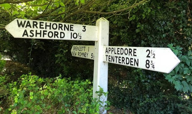
Image: © Milestone Society Taken: Unknown
No finial - 3 arms; by the B2080, in parish of Snargate (Shepway District), beer garden of the Red Lion, Snargate, either specially made or moved from nearby. To be surveyed Milestone Society National ID: KE_TQ9928.
Images are licensed for reuse under creativecommons.org/licenses/by-sa/2.0
Image Location
Latitude
51.021934
Longitude
0.836577