Old Bridge Marker by the A689, Front Street, Wearhead, Stanhope Parish
Introduction
The photograph on this page of Old Bridge Marker by the A689, Front Street, Wearhead, Stanhope Parish by Milestone Society as part of the Geograph project.
The Geograph project started in 2005 with the aim of publishing, organising and preserving representative images for every square kilometre of Great Britain, Ireland and the Isle of Man.

There are currently over 7.5m images from over 14,400 individuals and you can help contribute to the project by visiting https://www.geograph.org.uk
Old Bridge Marker by the A689, Front Street, Wearhead, Stanhope Parish
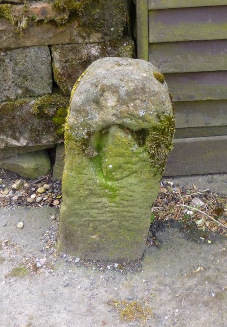
Image: © Milestone Society Taken: Unknown
Bridge Marker by the A689, in parish of Stanhope (Wear Valley District), Wearhead, 50m South of bridge on pavement against wall by small garage. Durham HER listed. Reference number: D8876 https://www.heritagegateway.org.uk/Gateway/Results_Single.aspx?uid=D8876&resourceID=109 Surveyed Milestone Society National ID: DU_WOAL14br.
Images are licensed for reuse under creativecommons.org/licenses/by-sa/2.0
Image Location
Latitude
54.749182
Longitude
-2.22096