Old Boundary Marker by the A382, Slade Cross, Bovey Tracey Parish
Introduction
The photograph on this page of Old Boundary Marker by the A382, Slade Cross, Bovey Tracey Parish by Alan Rosevear as part of the Geograph project.
The Geograph project started in 2005 with the aim of publishing, organising and preserving representative images for every square kilometre of Great Britain, Ireland and the Isle of Man.

There are currently over 7.5m images from over 14,400 individuals and you can help contribute to the project by visiting https://www.geograph.org.uk
Old Boundary Marker by the A382, Slade Cross, Bovey Tracey Parish
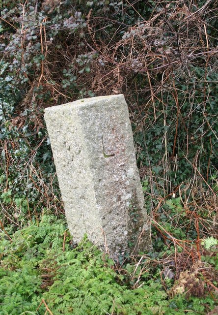
Image: © Alan Rosevear Taken: 7 Mar 2012
Parish Boundary Marker by the A382, in parish of Bovey Tracey (Teignbridge District), Slade Cross, at junction with Hatherleigh Lane, on grass verge. Surveyed Milestone Society National ID: DV_NAMN08pb
Images are licensed for reuse under creativecommons.org/licenses/by-sa/2.0
Image Location
Latitude
50.618222
Longitude
-3.699076