Old Milestone, Former A385, Avonwick
Introduction
The photograph on this page of Old Milestone, Former A385, Avonwick by A Rosevear as part of the Geograph project.
The Geograph project started in 2005 with the aim of publishing, organising and preserving representative images for every square kilometre of Great Britain, Ireland and the Isle of Man.

There are currently over 7.5m images from over 14,400 individuals and you can help contribute to the project by visiting https://www.geograph.org.uk
Old Milestone, Former A385, Avonwick
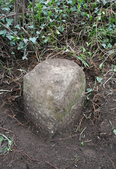
Image: © A Rosevear Taken: 5 Apr 2012
The milestone is located at the north west edge of village, on the verge on the south side of road. Parish of North Huish (South Hams District). Carved stone post, Totnes granite marker design, erected by the Totnes & Bridgetown-Pomeroy turnpike trust in the 18th century. Inscription reads:- : (To) / Tot(nes) / 6 / (MILES) : : (To / Ply)mo / 16 / MILES : Milestone Society National ID: DV_PLTNa16
Images are licensed for reuse under creativecommons.org/licenses/by-sa/2.0
Image Location
Latitude
50.41138
Longitude
-3.816549