The very end of Landermere Creek
Introduction
The photograph on this page of The very end of Landermere Creek by Zorba the Geek as part of the Geograph project.
The Geograph project started in 2005 with the aim of publishing, organising and preserving representative images for every square kilometre of Great Britain, Ireland and the Isle of Man.

There are currently over 7.5m images from over 14,400 individuals and you can help contribute to the project by visiting https://www.geograph.org.uk
The very end of Landermere Creek
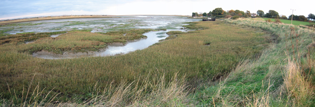
Image: © Zorba the Geek Taken: 4 Nov 2007
The boat in Image can be seen in the middle distance and beyond it is the settlement that contains Image, just visible through a gap in the trees. This panorama shows a sweep of the terrain typical of this area, from this point out towards the sea.
Images are licensed for reuse under creativecommons.org/licenses/by-sa/2.0
Image Location
Latitude
51.870762
Longitude
1.189249