Marhamchurch Foundry
Introduction
The photograph on this page of Marhamchurch Foundry by David Kitching as part of the Geograph project.
The Geograph project started in 2005 with the aim of publishing, organising and preserving representative images for every square kilometre of Great Britain, Ireland and the Isle of Man.

There are currently over 7.5m images from over 14,400 individuals and you can help contribute to the project by visiting https://www.geograph.org.uk
Marhamchurch Foundry
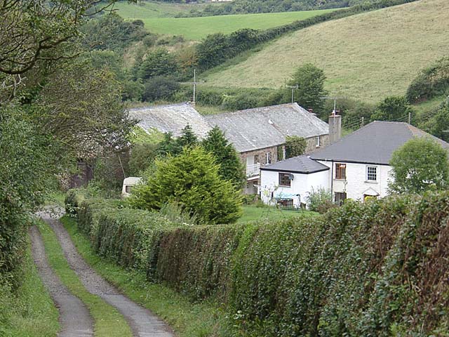
Image: © David Kitching Taken: 1 Aug 2002
Looking down the lane which runs parallel to the course of the Marhamchurch incline plane. The buildings at the bottom were once a foundry.
Images are licensed for reuse under creativecommons.org/licenses/by-sa/2.0
Image Location


Leaflet Map data © OpenStreetMap
Latitude
50.805442
Longitude
-4.527619