Old Milestone by the A487, north of Dole, Trefeurig Parish
Introduction
The photograph on this page of Old Milestone by the A487, north of Dole, Trefeurig Parish by Milestone Society as part of the Geograph project.
The Geograph project started in 2005 with the aim of publishing, organising and preserving representative images for every square kilometre of Great Britain, Ireland and the Isle of Man.

There are currently over 7.5m images from over 14,400 individuals and you can help contribute to the project by visiting https://www.geograph.org.uk
Old Milestone by the A487, north of Dole, Trefeurig Parish
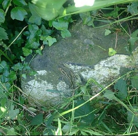
Image: © Milestone Society Taken: Unknown
By the A487, in parish of Trefeurig (Ceredigion District), Dole, on verge, South East side of the road. Inscription once read:- : (Aberystwyth 5) : To be surveyed Milestone Society National ID: CRD_AYMC05.
Images are licensed for reuse under creativecommons.org/licenses/by-sa/2.0
Image Location
Latitude
52.458692
Longitude
-4.011433