Old Milestone by the B3275, north of Scarcewater
Introduction
The photograph on this page of Old Milestone by the B3275, north of Scarcewater by Milestone Society as part of the Geograph project.
The Geograph project started in 2005 with the aim of publishing, organising and preserving representative images for every square kilometre of Great Britain, Ireland and the Isle of Man.

There are currently over 7.5m images from over 14,400 individuals and you can help contribute to the project by visiting https://www.geograph.org.uk
Old Milestone by the B3275, north of Scarcewater
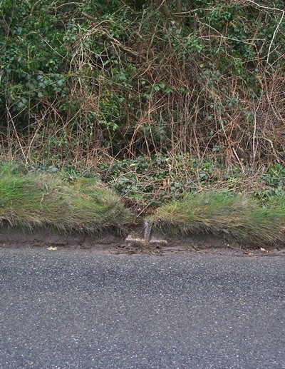
Image: © Milestone Society Taken: Unknown
By the B3275, in parish of Ladock (Carrick District), North of Scarcewater, sunk in road edge verge, East side of road. Lost since 2007 Milestone Society National ID: CW_SWGP01.
Images are licensed for reuse under creativecommons.org/licenses/by-sa/2.0
Image Location
Latitude
50.357765
Longitude
-4.930489