Old Direction Sign - Signpost, Knockin Heath, Kinnerley Parish
Introduction
The photograph on this page of Old Direction Sign - Signpost, Knockin Heath, Kinnerley Parish by Milestone Society as part of the Geograph project.
The Geograph project started in 2005 with the aim of publishing, organising and preserving representative images for every square kilometre of Great Britain, Ireland and the Isle of Man.

There are currently over 7.5m images from over 14,400 individuals and you can help contribute to the project by visiting https://www.geograph.org.uk
Old Direction Sign - Signpost, Knockin Heath, Kinnerley Parish
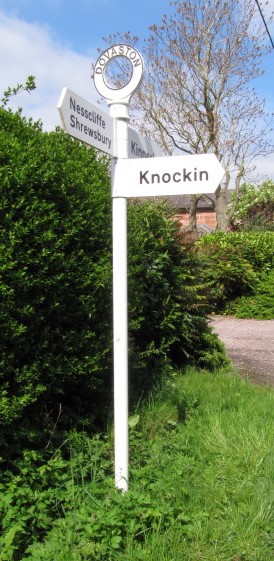
Image: © Milestone Society Taken: Unknown
Annulus finial - 3 arms; Shropshire CC modern halo by the UC road, in parish of Kinnerley (Oswestry District), T junction at Knockin Heath, on verge, against hedge, beside gate. Surveyed Milestone Society National ID: SA_SJ3521B.
Images are licensed for reuse under creativecommons.org/licenses/by-sa/2.0
Image Location
Latitude
52.783606
Longitude
-2.964484