Old Boundary Marker north west of Teddington Lock, Richmond
Introduction
The photograph on this page of Old Boundary Marker north west of Teddington Lock, Richmond by Milestone Society as part of the Geograph project.
The Geograph project started in 2005 with the aim of publishing, organising and preserving representative images for every square kilometre of Great Britain, Ireland and the Isle of Man.

There are currently over 7.5m images from over 14,400 individuals and you can help contribute to the project by visiting https://www.geograph.org.uk
Old Boundary Marker north west of Teddington Lock, Richmond
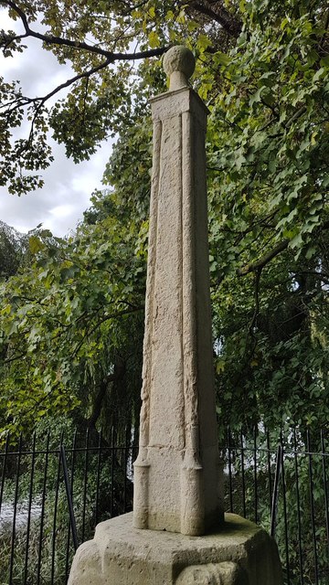
Image: © Milestone Society Taken: Unknown
Estate Boundary Marker - Thames Conservancy in the parish of Richmond upon Thames (Richmond upon Thames District), on East bank downstream of Teddington Lock, West of towpath next to the Thames. Surveyed Milestone Society National ID: SY_THAC01em.
Images are licensed for reuse under creativecommons.org/licenses/by-sa/2.0
Image Location
Latitude
51.434251
Longitude
-0.327444