Old Nunthorpe
Introduction
The photograph on this page of Old Nunthorpe by Mick Garratt as part of the Geograph project.
The Geograph project started in 2005 with the aim of publishing, organising and preserving representative images for every square kilometre of Great Britain, Ireland and the Isle of Man.

There are currently over 7.5m images from over 14,400 individuals and you can help contribute to the project by visiting https://www.geograph.org.uk
Old Nunthorpe
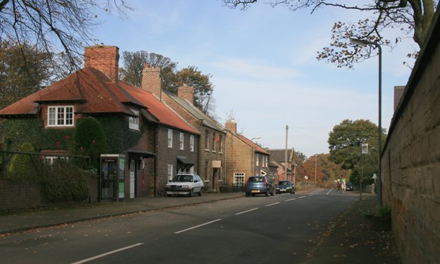
Image: © Mick Garratt Taken: 4 Nov 2007
A sleepy village since by-passed by the A172, Nunthorpe was until 1926 part of the Parish of Great Ayton. In the 12th century a Cistercian nunnery was established here, hence the name. The location of the priory and mill can only be surmised. They did however gain a somewhat dubious reputation for they were banished to Baysdale, a remote dale on the North York Moors.
Images are licensed for reuse under creativecommons.org/licenses/by-sa/2.0
Image Location
Latitude
54.512584
Longitude
-1.166979