Chapel Lane
Introduction
The photograph on this page of Chapel Lane by Tony Atkin as part of the Geograph project.
The Geograph project started in 2005 with the aim of publishing, organising and preserving representative images for every square kilometre of Great Britain, Ireland and the Isle of Man.

There are currently over 7.5m images from over 14,400 individuals and you can help contribute to the project by visiting https://www.geograph.org.uk
Chapel Lane
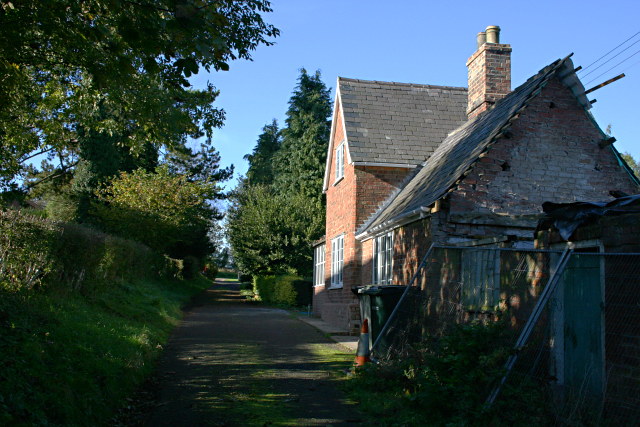
Image: © Tony Atkin Taken: 29 Oct 2007
From the eastern end of the lane, this cottage is the only house visible but further on, hidden behind the trees, are some new large houses (mini-mansions). As the name implies, a Methodist chapel used to be on this lane.
Images are licensed for reuse under creativecommons.org/licenses/by-sa/2.0
Image Location
Latitude
53.242136
Longitude
-0.057134