Barn Chapel
Introduction
The photograph on this page of Barn Chapel by Bob Embleton as part of the Geograph project.
The Geograph project started in 2005 with the aim of publishing, organising and preserving representative images for every square kilometre of Great Britain, Ireland and the Isle of Man.

There are currently over 7.5m images from over 14,400 individuals and you can help contribute to the project by visiting https://www.geograph.org.uk
Barn Chapel
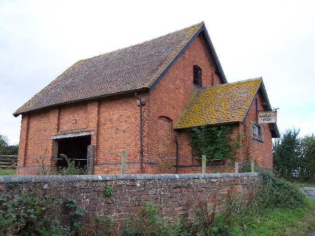
Image: © Bob Embleton Taken: 30 Sep 2005
Surely this must have been a non-conformist chapel (or perhaps a school room) long converted to a barn. at the junction of the no through road to Primrose Hill.
Images are licensed for reuse under creativecommons.org/licenses/by-sa/2.0
Image Location


Leaflet Map data © OpenStreetMap
Latitude
52.223925
Longitude
-2.428886