Bunhill Energy Centre
Introduction
The photograph on this page of Bunhill Energy Centre by Eirian Evans as part of the Geograph project.
The Geograph project started in 2005 with the aim of publishing, organising and preserving representative images for every square kilometre of Great Britain, Ireland and the Isle of Man.

There are currently over 7.5m images from over 14,400 individuals and you can help contribute to the project by visiting https://www.geograph.org.uk
Bunhill Energy Centre
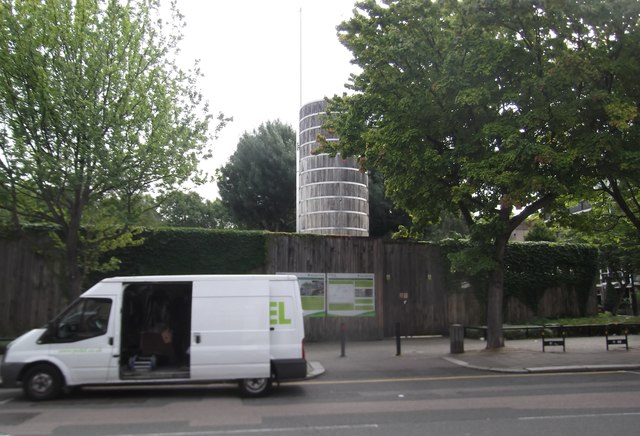
Image: © Eirian Evans Taken: 29 Jul 2017
A Pioneering Bunhill Energy Centre in Central Street provides cheaper heating to the Red Brick, Stafford Cripps and St Luke's estates, using a gas combined heat and power (CHP) plant.
Images are licensed for reuse under creativecommons.org/licenses/by-sa/2.0
Image Location
Latitude
51.525503
Longitude
-0.096045