Truncated lane
Introduction
The photograph on this page of Truncated lane by Bob Harvey as part of the Geograph project.
The Geograph project started in 2005 with the aim of publishing, organising and preserving representative images for every square kilometre of Great Britain, Ireland and the Isle of Man.

There are currently over 7.5m images from over 14,400 individuals and you can help contribute to the project by visiting https://www.geograph.org.uk
Truncated lane
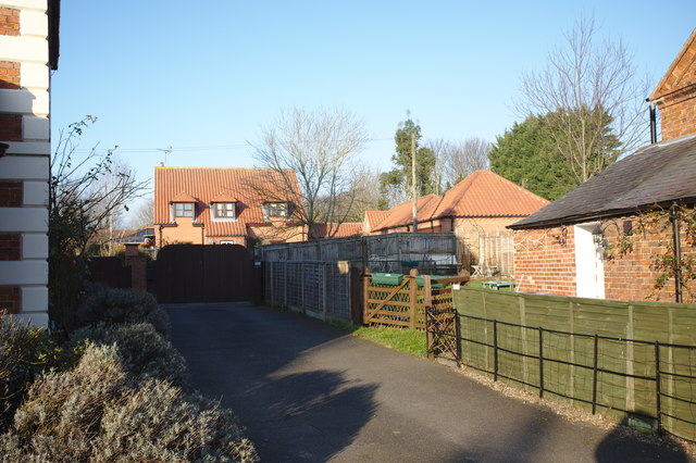
Image: © Bob Harvey Taken: 20 Jan 2019
This former byway, now the shared access for a handful of homes, is the lane referred to in Image as the one that the large house on the left is built to face
Images are licensed for reuse under creativecommons.org/licenses/by-sa/2.0
Image Location
Latitude
52.929877
Longitude
-0.4129