Evington Footway, Leicester
Introduction
The photograph on this page of Evington Footway, Leicester by Alan Murray-Rust as part of the Geograph project.
The Geograph project started in 2005 with the aim of publishing, organising and preserving representative images for every square kilometre of Great Britain, Ireland and the Isle of Man.

There are currently over 7.5m images from over 14,400 individuals and you can help contribute to the project by visiting https://www.geograph.org.uk
Evington Footway, Leicester
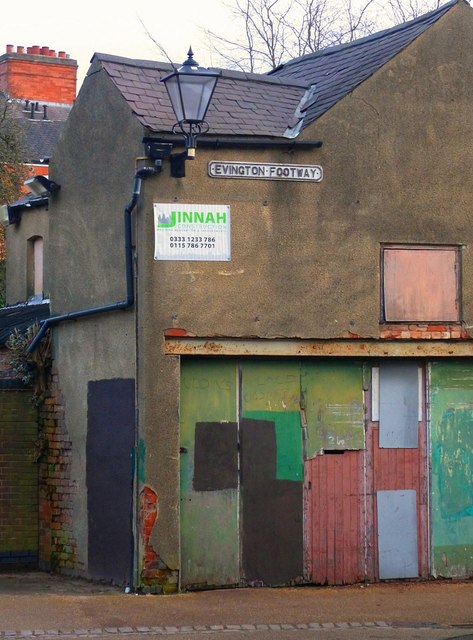
Image: © Alan Murray-Rust Taken: 26 Jan 2019
Originally a rural footpath to the village of Evington, the urban end has survived the 19th and 20th century development of the City. It has even been provided with proper cast-iron name signs.
Images are licensed for reuse under creativecommons.org/licenses/by-sa/2.0
Image Location
Latitude
52.626149
Longitude
-1.117107