Approach to High Close farm
Introduction
The photograph on this page of Approach to High Close farm by Gordon Hatton as part of the Geograph project.
The Geograph project started in 2005 with the aim of publishing, organising and preserving representative images for every square kilometre of Great Britain, Ireland and the Isle of Man.

There are currently over 7.5m images from over 14,400 individuals and you can help contribute to the project by visiting https://www.geograph.org.uk
Approach to High Close farm
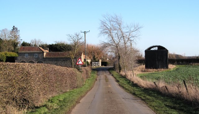
Image: © Gordon Hatton Taken: 28 Jan 2019
The ramshackle barn on the right appears to have lost more of its cladding since the last contributor passed this way.
Images are licensed for reuse under creativecommons.org/licenses/by-sa/2.0
Image Location
Latitude
54.5308
Longitude
-1.73573