Bridleway in Eppleby parish
Introduction
The photograph on this page of Bridleway in Eppleby parish by Gordon Hatton as part of the Geograph project.
The Geograph project started in 2005 with the aim of publishing, organising and preserving representative images for every square kilometre of Great Britain, Ireland and the Isle of Man.

There are currently over 7.5m images from over 14,400 individuals and you can help contribute to the project by visiting https://www.geograph.org.uk
Bridleway in Eppleby parish
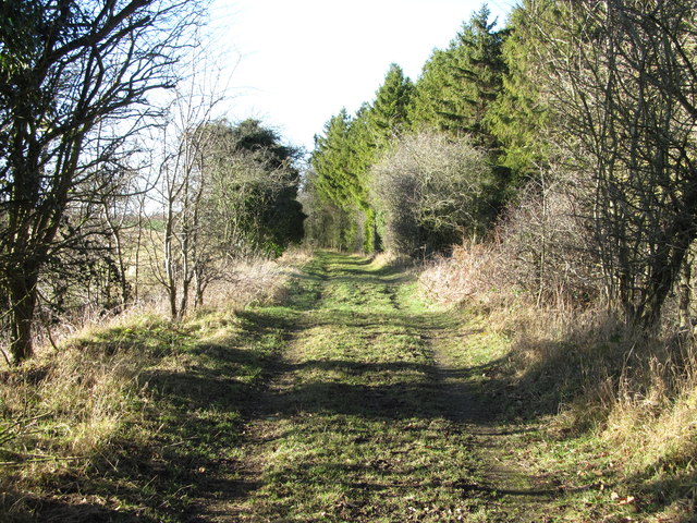
Image: © Gordon Hatton Taken: 28 Jan 2019
The middle of this photo is at the point where the bridleway crosses over the old railway line that served Forcett quarries. The line here is in a cutting, but there's no sign of a bridge, which was presumably removed at some point in the past.
Images are licensed for reuse under creativecommons.org/licenses/by-sa/2.0
Image Location
Latitude
54.526518
Longitude
-1.710109