Burnthouse Plantation
Introduction
The photograph on this page of Burnthouse Plantation by Gordon Hatton as part of the Geograph project.
The Geograph project started in 2005 with the aim of publishing, organising and preserving representative images for every square kilometre of Great Britain, Ireland and the Isle of Man.

There are currently over 7.5m images from over 14,400 individuals and you can help contribute to the project by visiting https://www.geograph.org.uk
Burnthouse Plantation
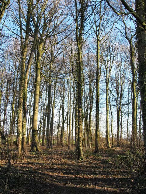
Image: © Gordon Hatton Taken: 28 Jan 2019
A strip of woodland with broadleaved trees of similar height and girth.
Images are licensed for reuse under creativecommons.org/licenses/by-sa/2.0
Image Location
Latitude
54.52669
Longitude
-1.707018