The Crown Inn
Introduction
The photograph on this page of The Crown Inn by Bill Boaden as part of the Geograph project.
The Geograph project started in 2005 with the aim of publishing, organising and preserving representative images for every square kilometre of Great Britain, Ireland and the Isle of Man.

There are currently over 7.5m images from over 14,400 individuals and you can help contribute to the project by visiting https://www.geograph.org.uk
The Crown Inn
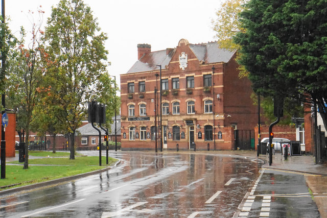
Image: © Bill Boaden Taken: 14 Oct 2018
The pub is on Bond Street which is part of a gyratory system and forms part of the station approach. The Railway Tavern is to the right. It is viewed on a wet day.
Images are licensed for reuse under creativecommons.org/licenses/by-sa/2.0
Image Location


Leaflet Map data © OpenStreetMap
Latitude
52.525205
Longitude
-1.464921