Property boundary marker stone
Introduction
The photograph on this page of Property boundary marker stone by J D Atkinson as part of the Geograph project.
The Geograph project started in 2005 with the aim of publishing, organising and preserving representative images for every square kilometre of Great Britain, Ireland and the Isle of Man.

There are currently over 7.5m images from over 14,400 individuals and you can help contribute to the project by visiting https://www.geograph.org.uk
Property boundary marker stone
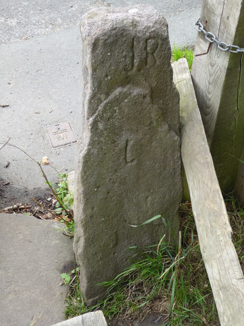
Image: © J D Atkinson Taken: 21 Aug 2018
On the reverse of the stile at the start of the footpath from Lower Fold to Cliff Lane.
Images are licensed for reuse under creativecommons.org/licenses/by-sa/2.0
Image Location
Latitude
53.267448
Longitude
-2.103713