Old Central Cross near Cup and Saucer close, Cropredy
Introduction
The photograph on this page of Old Central Cross near Cup and Saucer close, Cropredy by Milestone Society as part of the Geograph project.
The Geograph project started in 2005 with the aim of publishing, organising and preserving representative images for every square kilometre of Great Britain, Ireland and the Isle of Man.

There are currently over 7.5m images from over 14,400 individuals and you can help contribute to the project by visiting https://www.geograph.org.uk
Old Central Cross near Cup and Saucer close, Cropredy
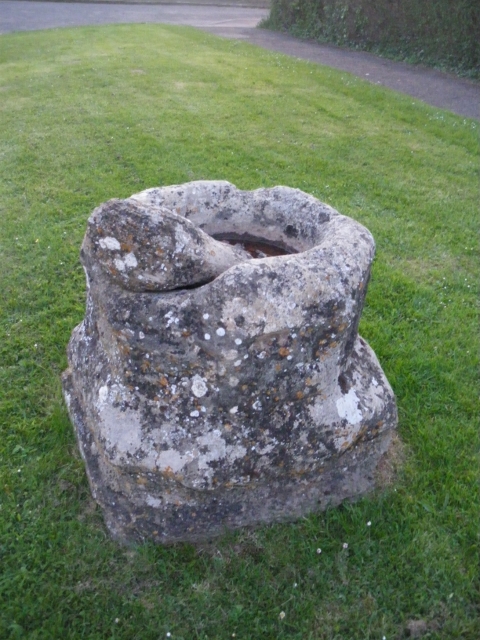
Image: © Milestone Society Taken: Unknown
Cup and Saucer stone, old shaft, base & steps by the UC road, in parish of Cropredy (Cherwell District), near No.24 Cup & Saucer close, NW edge of village, on wide grass verge. To be surveyed Milestone Society National ID: OXCH_CRO.
Images are licensed for reuse under creativecommons.org/licenses/by-sa/2.0
Image Location


Leaflet Map data © OpenStreetMap
Latitude
52.116211
Longitude
-1.320283