Old Milestone, A1017, Rowley Hill, Sturmer
Introduction
The photograph on this page of Old Milestone, A1017, Rowley Hill, Sturmer by Robin Hall as part of the Geograph project.
The Geograph project started in 2005 with the aim of publishing, organising and preserving representative images for every square kilometre of Great Britain, Ireland and the Isle of Man.

There are currently over 7.5m images from over 14,400 individuals and you can help contribute to the project by visiting https://www.geograph.org.uk
Old Milestone, A1017, Rowley Hill, Sturmer
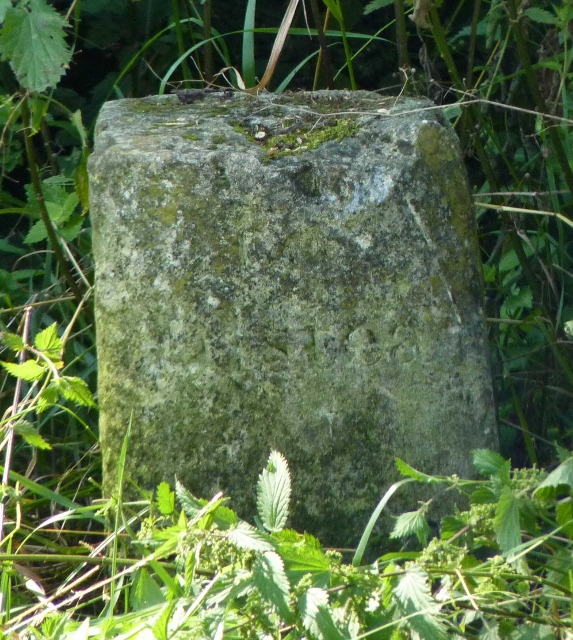
Image: © Robin Hall Taken: Unknown
The milestone is located 60m south east of the junction with Church Croft, on the verge by the pedestrian crossing on the south side of the road. Parish of Sturmer (Braintree District). Carved stone post, erected by the Halstead (Division of Essex First District) turnpike trust in the 19th century. Next to milestone EX_COHV27 Image Inscription once read:- (Colchester) (27) Halstead (14) Grade II listed together with adjacent milepost. List Entry Number: 1470460 https://historicengland.org.uk/listing/the-list/list-entry/1470460 Milestone Society National ID: EX_COHV27A
Images are licensed for reuse under creativecommons.org/licenses/by-sa/2.0
Image Location
Latitude
52.069357
Longitude
0.468588