Old Boundary Marker by footpath at Holton Heath Station
Introduction
The photograph on this page of Old Boundary Marker by footpath at Holton Heath Station by Milestone Society as part of the Geograph project.
The Geograph project started in 2005 with the aim of publishing, organising and preserving representative images for every square kilometre of Great Britain, Ireland and the Isle of Man.

There are currently over 7.5m images from over 14,400 individuals and you can help contribute to the project by visiting https://www.geograph.org.uk
Old Boundary Marker by footpath at Holton Heath Station
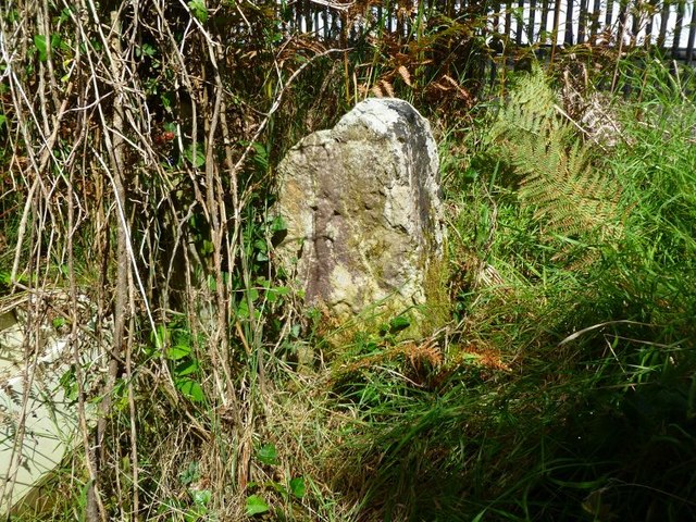
Image: © Milestone Society Taken: Unknown
Estate Boundary Marker by the footpath, in parish of Wareham St Martin (Purbeck District), Station Road, 50m S gate no 2 overlooking ditch. Surveyed Milestone Society National ID: DO_SAND02em.
Images are licensed for reuse under creativecommons.org/licenses/by-sa/2.0
Image Location
Latitude
50.712664
Longitude
-2.080396