Old Milestone by the B3145, south west of Lattiford
Introduction
The photograph on this page of Old Milestone by the B3145, south west of Lattiford by JR Dowding as part of the Geograph project.
The Geograph project started in 2005 with the aim of publishing, organising and preserving representative images for every square kilometre of Great Britain, Ireland and the Isle of Man.

There are currently over 7.5m images from over 14,400 individuals and you can help contribute to the project by visiting https://www.geograph.org.uk
Old Milestone by the B3145, south west of Lattiford
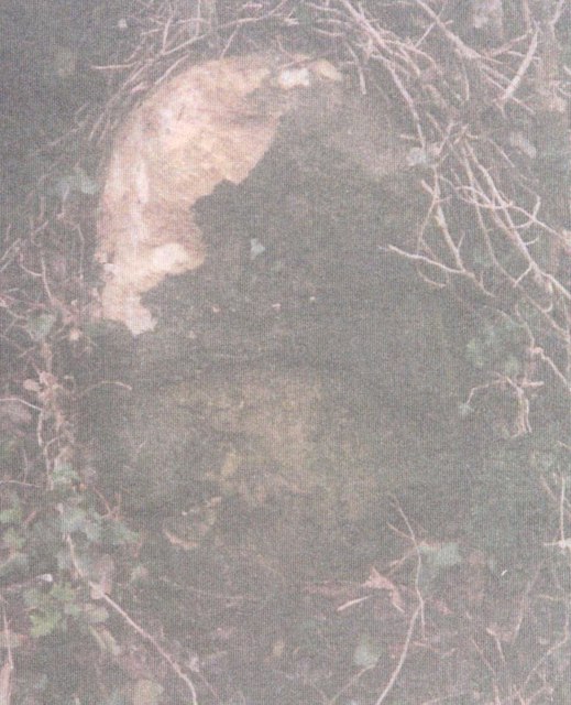
Image: © JR Dowding Taken: 10 Feb 2003
Stone post (plate lost) by the B3145, in parish of HOLTON (SOUTH SOMERSET District), South West of Lattiford village, in hedge beside road, on South side of road. Wincanton iron plate, erected by the Wincanton turnpike trust in the 19th century. Inscription once read:- : (Wincanton 2) : : (Sherborne 8) : Grade II listed. List Entry Number: 1222408 https://historicengland.org.uk/listing/the-list/list-entry/1222408 Milestone Society National ID: SO_WCSB02.
Images are licensed for reuse under creativecommons.org/licenses/by-sa/2.0
Image Location
Latitude
51.037399
Longitude
-2.437373