Former Royal Oak pub, Church Street, Bedwas
Introduction
The photograph on this page of Former Royal Oak pub, Church Street, Bedwas by Jaggery as part of the Geograph project.
The Geograph project started in 2005 with the aim of publishing, organising and preserving representative images for every square kilometre of Great Britain, Ireland and the Isle of Man.

There are currently over 7.5m images from over 14,400 individuals and you can help contribute to the project by visiting https://www.geograph.org.uk
Former Royal Oak pub, Church Street, Bedwas
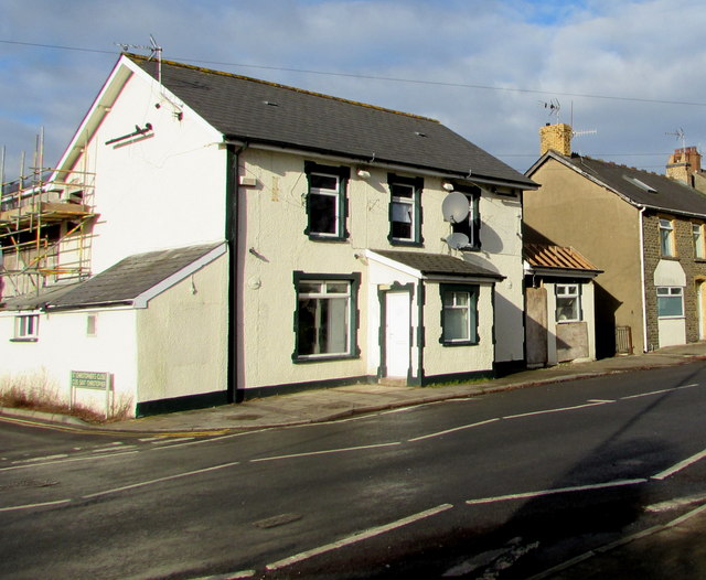
Image: © Jaggery Taken: 25 Jan 2019
Viewed in January 2019. This house on the corner of St Christopher's Close used to be the Royal Oak, seen here https://www.geograph.org.uk/photo/2600961 in September 2011.
Images are licensed for reuse under creativecommons.org/licenses/by-sa/2.0
Image Location
Latitude
51.592276
Longitude
-3.199114