A steep cutting below Castell-y-dail Wood
Introduction
The photograph on this page of A steep cutting below Castell-y-dail Wood by Penny Mayes as part of the Geograph project.
The Geograph project started in 2005 with the aim of publishing, organising and preserving representative images for every square kilometre of Great Britain, Ireland and the Isle of Man.

There are currently over 7.5m images from over 14,400 individuals and you can help contribute to the project by visiting https://www.geograph.org.uk
A steep cutting below Castell-y-dail Wood
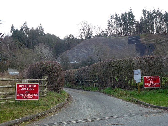
Image: © Penny Mayes Taken: 6 Jan 2019
The horizontal white line is the new bypass.
Images are licensed for reuse under creativecommons.org/licenses/by-sa/2.0
Image Location
Latitude
52.499022
Longitude
-3.334124