Heol Ashley extension, Mochdre Estate
Introduction
The photograph on this page of Heol Ashley extension, Mochdre Estate by Penny Mayes as part of the Geograph project.
The Geograph project started in 2005 with the aim of publishing, organising and preserving representative images for every square kilometre of Great Britain, Ireland and the Isle of Man.

There are currently over 7.5m images from over 14,400 individuals and you can help contribute to the project by visiting https://www.geograph.org.uk
Heol Ashley extension, Mochdre Estate
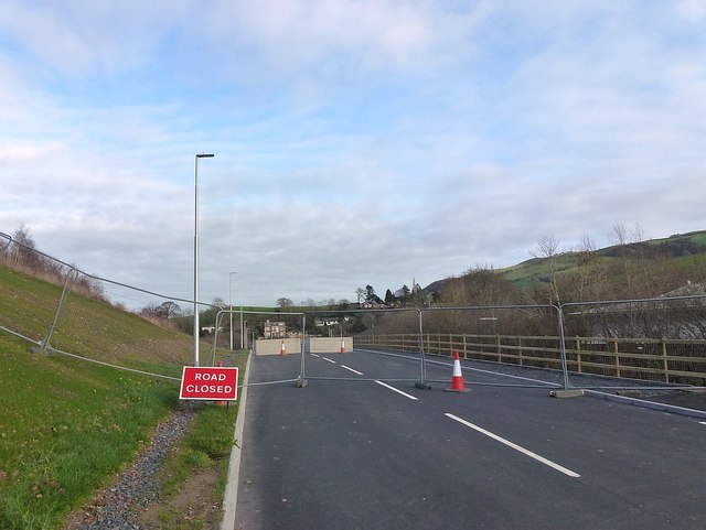
Image: © Penny Mayes Taken: 6 Jan 2019
Heading for the new roundabout on A483 Dolfor Road.
Images are licensed for reuse under creativecommons.org/licenses/by-sa/2.0
Image Location
Latitude
52.503385
Longitude
-3.321881