Old Guide Stone by the B6429, Bingley Road, Cullingworth Parish
Introduction
The photograph on this page of Old Guide Stone by the B6429, Bingley Road, Cullingworth Parish by Milestone Society as part of the Geograph project.
The Geograph project started in 2005 with the aim of publishing, organising and preserving representative images for every square kilometre of Great Britain, Ireland and the Isle of Man.

There are currently over 7.5m images from over 14,400 individuals and you can help contribute to the project by visiting https://www.geograph.org.uk
Old Guide Stone by the B6429, Bingley Road, Cullingworth Parish
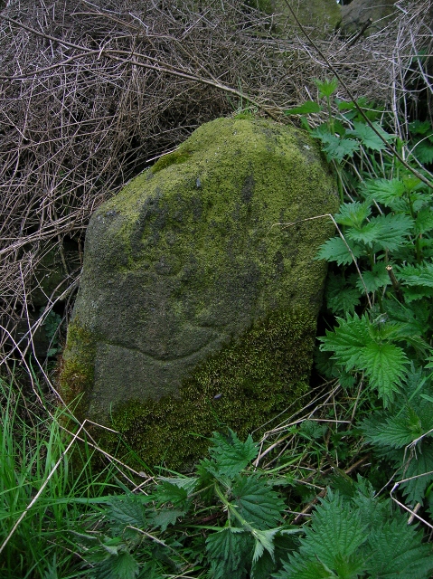
Image: © Milestone Society Taken: Unknown
By the B6429, in parish of Cullingworth (Bradford District), Bingley Road junction with Bridleway named Dolphin Lane, at corner of wall, South West side of lane, above Cow House Farm. Inscription of {pointing hand} is clear Surveyed Milestone Society National ID: YW_XCUL.
Images are licensed for reuse under creativecommons.org/licenses/by-sa/2.0
Image Location
Latitude
53.833224
Longitude
-1.89266