Old Guide Stone by Woodhouse Lane, Slaidburn Parish
Introduction
The photograph on this page of Old Guide Stone by Woodhouse Lane, Slaidburn Parish by Milestone Society as part of the Geograph project.
The Geograph project started in 2005 with the aim of publishing, organising and preserving representative images for every square kilometre of Great Britain, Ireland and the Isle of Man.

There are currently over 7.5m images from over 14,400 individuals and you can help contribute to the project by visiting https://www.geograph.org.uk
Old Guide Stone by Woodhouse Lane, Slaidburn Parish
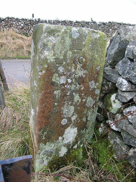
Image: © Milestone Society Taken: Unknown
By the UC road, in the parish of Slaidburn (Ribble Valley District), Ex YW, West of Slaidburn, at junction of Woodhouse Lane with Back Lane, leading to track over Salter Fell. Surveyed Milestone Society National ID: YW_XSLBa.
Images are licensed for reuse under creativecommons.org/licenses/by-sa/2.0
Image Location


Leaflet Map data © OpenStreetMap
Latitude
53.972817
Longitude
-2.464458