Old Wayside Cross by Belle Vue Road
Introduction
The photograph on this page of Old Wayside Cross by Belle Vue Road by Alan Rosevear as part of the Geograph project.
The Geograph project started in 2005 with the aim of publishing, organising and preserving representative images for every square kilometre of Great Britain, Ireland and the Isle of Man.

There are currently over 7.5m images from over 14,400 individuals and you can help contribute to the project by visiting https://www.geograph.org.uk
Old Wayside Cross by Belle Vue Road
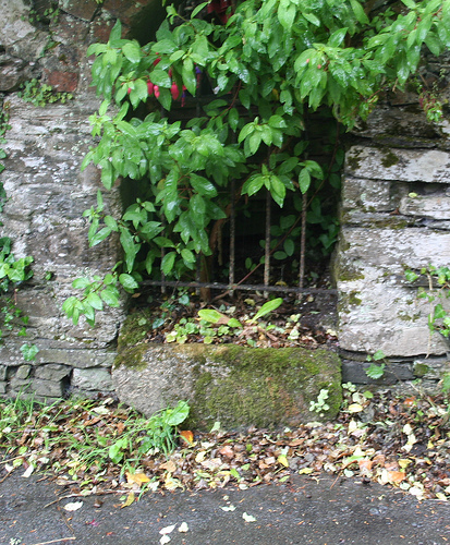
Image: © Alan Rosevear Taken: 27 Jun 2011
Hooe Manor Cross, old base by the UC road, in parish of Plymouth (Plymouth District), Belle Vue Road, a lane to the entrance of Hooe Manor, built into a stone wall opposite the entrance to the manor but with a gap filled by railings over the stone so that it is visible. Surveyed Milestone Society National ID: DVPL_PLY06
Images are licensed for reuse under creativecommons.org/licenses/by-sa/2.0
Image Location
Latitude
50.350526
Longitude
-4.106526