Old Milestone by the former A928, Balmuir Wood, Tealing Parish
Introduction
The photograph on this page of Old Milestone by the former A928, Balmuir Wood, Tealing Parish by Milestone Society as part of the Geograph project.
The Geograph project started in 2005 with the aim of publishing, organising and preserving representative images for every square kilometre of Great Britain, Ireland and the Isle of Man.

There are currently over 7.5m images from over 14,400 individuals and you can help contribute to the project by visiting https://www.geograph.org.uk
Old Milestone by the former A928, Balmuir Wood, Tealing Parish
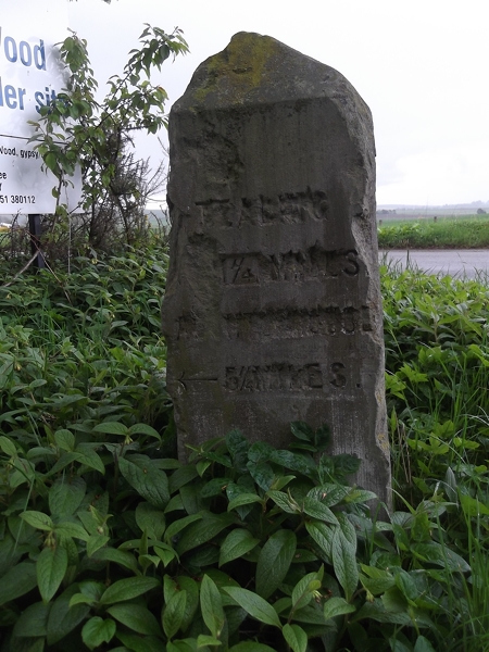
Image: © Milestone Society Taken: Unknown
By the UC road (was A928), in parish of Tealing (Angus District), Balmuir Wood, entrance to Travellers site. Surveyed Milestone Society National ID: AN_DDFR05t.
Images are licensed for reuse under creativecommons.org/licenses/by-sa/2.0
Image Location
Latitude
56.530209
Longitude
-2.943453