Plaque on the sea wall, Robin Hood's Bay
Introduction
The photograph on this page of Plaque on the sea wall, Robin Hood's Bay by Stephen Craven as part of the Geograph project.
The Geograph project started in 2005 with the aim of publishing, organising and preserving representative images for every square kilometre of Great Britain, Ireland and the Isle of Man.

There are currently over 7.5m images from over 14,400 individuals and you can help contribute to the project by visiting https://www.geograph.org.uk
Plaque on the sea wall, Robin Hood's Bay
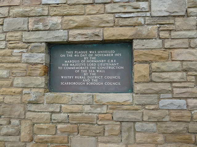
Image: © Stephen Craven Taken: 13 Jan 2019
The plaque marks the construction of the sea wall in 1975.
Images are licensed for reuse under creativecommons.org/licenses/by-sa/2.0
Image Location


Leaflet Map data © OpenStreetMap
Latitude
54.431501
Longitude
-0.532557