Former station building, Robin Hood's Bay
Introduction
The photograph on this page of Former station building, Robin Hood's Bay by Stephen Craven as part of the Geograph project.
The Geograph project started in 2005 with the aim of publishing, organising and preserving representative images for every square kilometre of Great Britain, Ireland and the Isle of Man.

There are currently over 7.5m images from over 14,400 individuals and you can help contribute to the project by visiting https://www.geograph.org.uk
Former station building, Robin Hood's Bay
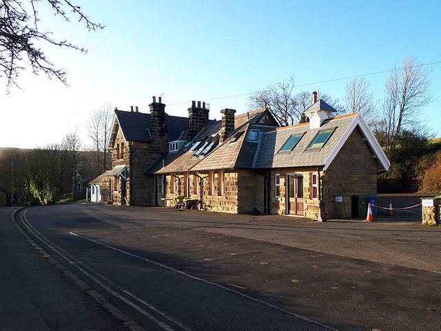
Image: © Stephen Craven Taken: 13 Jan 2019
Owing to the steep cliffs in the area, the station was some two hundred feet in elevation above the shoreline, leaving residents with a stiff climb to catch a train. It opened in 1885 and closed to passengers in the Beeching era, on 8 March 1965. Unusually, freight services had been withdrawn the year before, whereas on many lines freight continued after passenger services were withdrawn. The building is now holiday accommodation.
Images are licensed for reuse under creativecommons.org/licenses/by-sa/2.0
Image Location


Leaflet Map data © OpenStreetMap
Latitude
54.435083
Longitude
-0.538905