Sign and postbox, Ashwell
Introduction
The photograph on this page of Sign and postbox, Ashwell by Derek Harper as part of the Geograph project.
The Geograph project started in 2005 with the aim of publishing, organising and preserving representative images for every square kilometre of Great Britain, Ireland and the Isle of Man.

There are currently over 7.5m images from over 14,400 individuals and you can help contribute to the project by visiting https://www.geograph.org.uk
Sign and postbox, Ashwell
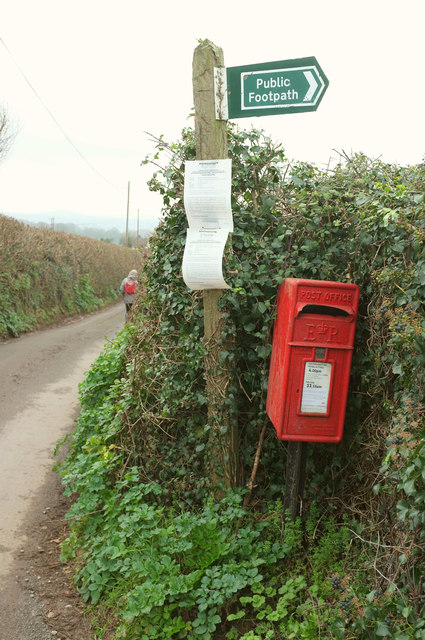
Image: © Derek Harper Taken: 20 Jan 2019
Indicating the start of Bishopsteignton footpath 1. The Elizabeth II postbox is number TQ14 36. The lane leads to Colway Cross.
Images are licensed for reuse under creativecommons.org/licenses/by-sa/2.0
Image Location
Latitude
50.558598
Longitude
-3.555281