Bedwas Methodist Church
Introduction
The photograph on this page of Bedwas Methodist Church by Jaggery as part of the Geograph project.
The Geograph project started in 2005 with the aim of publishing, organising and preserving representative images for every square kilometre of Great Britain, Ireland and the Isle of Man.

There are currently over 7.5m images from over 14,400 individuals and you can help contribute to the project by visiting https://www.geograph.org.uk
Bedwas Methodist Church
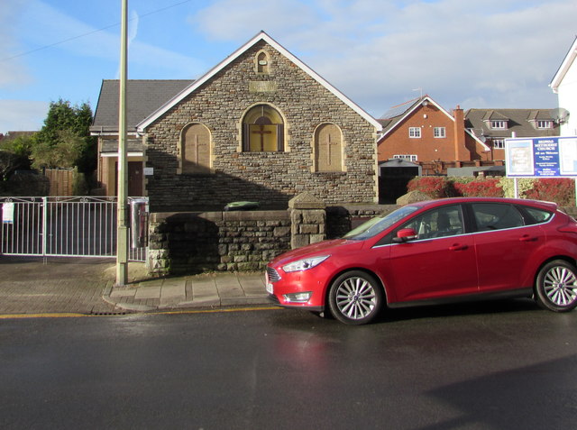
Image: © Jaggery Taken: 25 Jan 2019
Part of the Gwent Hills and Vales Methodist Circuit, the church is set back from the west side of Church Street. The tablet https://www.geograph.org.uk/photo/6033512 above the central window records that the building was erected in 1897 as a Wesleyan Church. https://www.geograph.org.uk/photo/6033521 to a closer view of the church.
Images are licensed for reuse under creativecommons.org/licenses/by-sa/2.0
Image Location
Latitude
51.591643
Longitude
-3.199531