Former parish school, Hollin Lane, Far Headingley
Introduction
The photograph on this page of Former parish school, Hollin Lane, Far Headingley by Stephen Craven as part of the Geograph project.
The Geograph project started in 2005 with the aim of publishing, organising and preserving representative images for every square kilometre of Great Britain, Ireland and the Isle of Man.

There are currently over 7.5m images from over 14,400 individuals and you can help contribute to the project by visiting https://www.geograph.org.uk
Former parish school, Hollin Lane, Far Headingley
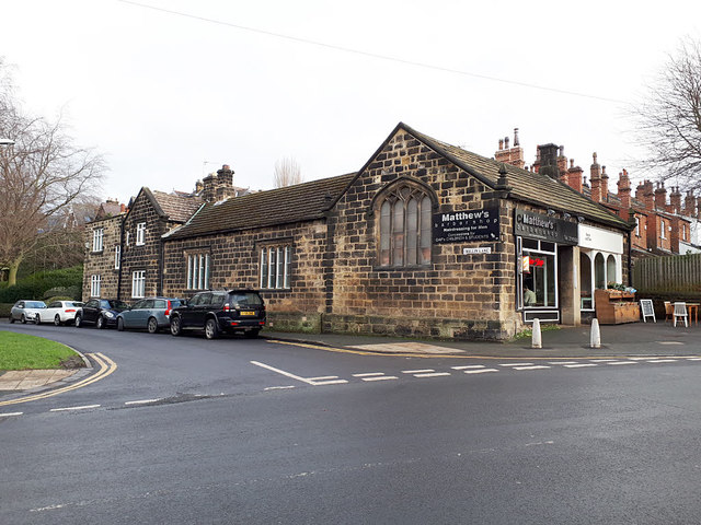
Image: © Stephen Craven Taken: 25 Jan 2019
I thought this looked like an old school building and indeed on the 1851 OS map it is marked as an infant school, although by 1908 it is labelled as 'Club'. According to the conservation area plan, it dates from 1839, but is not currently listed. It now houses a barber's business and a shop at one end; the rest is presumably residential.
Images are licensed for reuse under creativecommons.org/licenses/by-sa/2.0
Image Location
Latitude
53.828715
Longitude
-1.581702