Railway up the Chipstead Valley
Introduction
The photograph on this page of Railway up the Chipstead Valley by Robin Webster as part of the Geograph project.
The Geograph project started in 2005 with the aim of publishing, organising and preserving representative images for every square kilometre of Great Britain, Ireland and the Isle of Man.

There are currently over 7.5m images from over 14,400 individuals and you can help contribute to the project by visiting https://www.geograph.org.uk
Railway up the Chipstead Valley
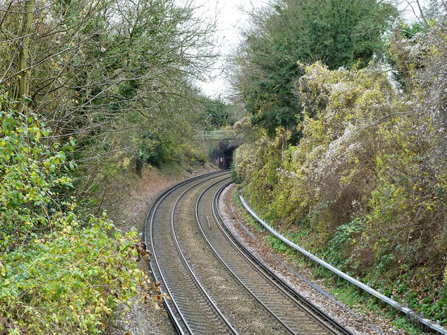
Image: © Robin Webster Taken: 21 Nov 2010
The branch to Tattenham Corner, which takes a sinuous course up the valley bottom. The bridge visible is disused.
Images are licensed for reuse under creativecommons.org/licenses/by-sa/2.0
Image Location


Leaflet Map data © OpenStreetMap
Latitude
51.320172
Longitude
-0.144744