Old bridge, Newent
Introduction
The photograph on this page of Old bridge, Newent by David Stowell as part of the Geograph project.
The Geograph project started in 2005 with the aim of publishing, organising and preserving representative images for every square kilometre of Great Britain, Ireland and the Isle of Man.

There are currently over 7.5m images from over 14,400 individuals and you can help contribute to the project by visiting https://www.geograph.org.uk
Old bridge, Newent
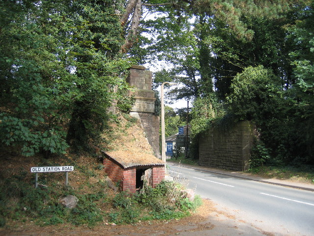
Image: © David Stowell Taken: 2 Oct 2005
The abutments of the bridge which used to carry the Gloucester to Ledbury line over the Dymock road on Newent. As roadsign indicates, the station was just to the left. Much of the railway was built on the route of the Hereford and Gloucester canal, although at this point the canal originally followed the contours of the land behind the photographer. Restoration of the canal is now in progress, http://www.h-g-canal.org.uk/Railway%20Station.htm this time using the line of the railway at this point so at some point in the future the bridge will be replaced by an aqueduct.
Images are licensed for reuse under creativecommons.org/licenses/by-sa/2.0
Image Location


Leaflet Map data © OpenStreetMap
Latitude
51.934498
Longitude
-2.408665