Villa, 13, Church Street St Mary?s
Introduction
The photograph on this page of Villa, 13, Church Street St Mary?s by John Baker as part of the Geograph project.
The Geograph project started in 2005 with the aim of publishing, organising and preserving representative images for every square kilometre of Great Britain, Ireland and the Isle of Man.

There are currently over 7.5m images from over 14,400 individuals and you can help contribute to the project by visiting https://www.geograph.org.uk
Villa, 13, Church Street St Mary?s
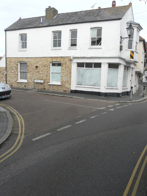
Image: © John Baker Taken: 13 Jan 2019
Planning permission has been granted by Dover District Council under application number DOV/18/01280 for the “erection of a single storey rear extension, erection of a garden wall with re-located gates and replacement of windows (chimney and existing garden wall to be demolished)”. This is Image from the back.
Images are licensed for reuse under creativecommons.org/licenses/by-sa/2.0
Image Location
Latitude
51.276762
Longitude
1.337645